Services
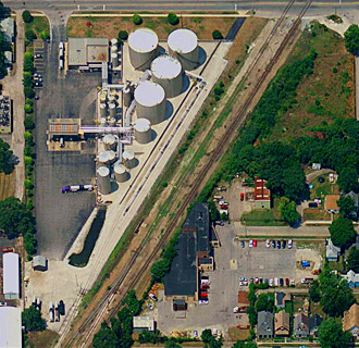
Aerial Photography – Acquisition (Black & White, Color, InfraRed)
Digital Sensors
Leica ADS40 – ADS80
Intergraph DMC
Microsoft/Vexcel UltraCAM
Applanix DSS
DiMAC Systems DiMAC
Oblique’s
Analog Cameras
Leica RC-30
Zeiss RMK/LMK
Airborne GPS and IMU capabilities
Applanix
IPAS
Photogrammetry
Airborne GPS / IMU
Control Surveys
Preflight targeting
Post-processing
Base station setup/support
Control establishment/recovery
Fully Analytic Aero-triangulation (FAAT)
High resolution 9×9 film scanning
(roll and cut film)
Stereo compilation
Softcopy
2-D / 3-D feature extraction
Change detection
Map Updating
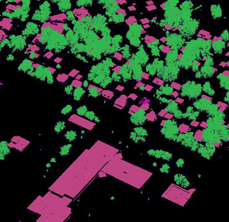
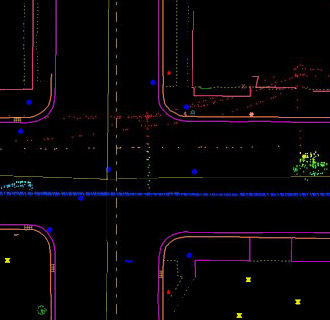
Planimetric Mapping
Roads, buildings, water bodies and other visual features
Infrastructure mapping
2-D, 3-D vectors
Feature coding
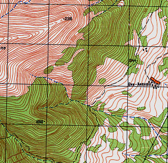
Topographic Mapping
Engineering/Planning accuracy
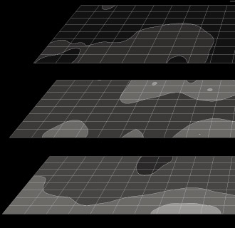
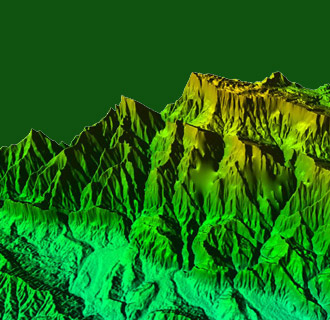
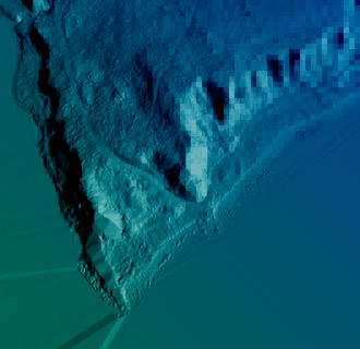
DEM/DTM generation
Autocorrelation
Volume Calculations
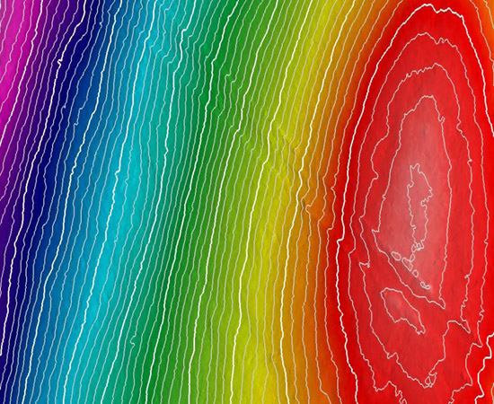
Cross Sections
Plan & profile sheets
ROW mapping
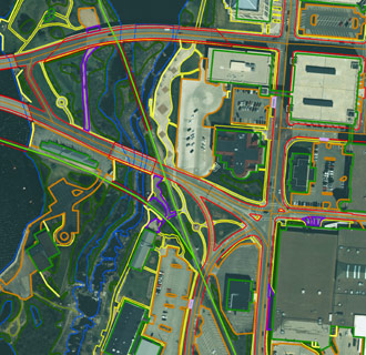
Digital Orthophotography
High resolution
Tone match/color balance/mosaic
Update mapping (plan & topo)
2nd generation
Digital Terrain Modeling (DTM)
Data Review & Quality Assurance
All vector and image format types supported
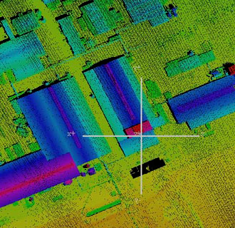
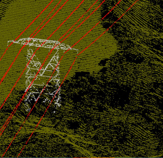
LiDAR
Acquisition (25 kHz – 500 kHz)
Fixed Wing
Helicopter
Vehicle based
Terrestrial Surveys
System functionality/type
Multiple return
Multi-pulse in air (MPIA)
Full Wave Form
Processing
Point Cloud; Bare Earth; Contours (ASPRS, NMAS, NSSDA); Breakline supplementation and cross sections; FEMA; Digital Surface Model, Digital Terrain Model, Digital Elevation Model; Feature Extraction (planimetrics, land cover, volumes); 3D visualizations & fly-throughs; Obstruction clearance models; Vegetation modeling
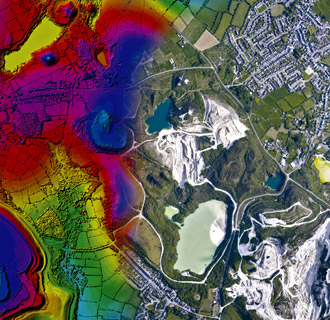
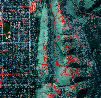
Remote Sensing
GIS
Acquisition (Thermal, Hyperspectral, VNIR, SWIR)
ITRES CASI, TABI, SASI, TASI
SPECIM AISA
Space Instruments FireMapper, OilMapper and ForestMapper
Satellite – IKONOS, QuickBird, SPOT
Processing
Image co-registration
Feature extraction
Feature and condition classification
Feature measurement
Image classification
Target/species detection
Bio-statistics
Vegetation and crop health analysis
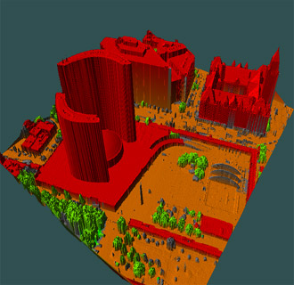
3-D scene construction and visualization
GIS Services
Data Conversion (scan, digitize, attribute)
Large format mobile scanning system (on-site)
Application Development and Implementation
System Design
Data Analysis and interpretation
Consulting
Vector Conflation/Vector Alignment
Database Design/CAD/GIS translation
Consulting
Consulting Services
Create specifications customized to meet your project needs
Standardized specifications for companies with multiple offices
Provide internal client educational sessions on technology and applications
Assist with hardware and software needs and software applications
Assist with implementation of new technology – education and training
Represent our clients in meetings involving remote sensing and GIS requirements
Assist with proposals and technical approach
Help our clients earn more new and repeat business by differentiation
Interpret and convey specifications/scopes of work
Identifies off-the-shelf source data (imagery, DEM, LiDAR, etc.)
100% responsibility for the quality and timeliness of the work.