PARTNERS WE WORK WITH
WHAT WE SPECIALIZE IN
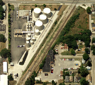
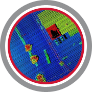
Spatial Innovation specializes in Aerial Imagery, LiDAR, Photogrammetric Mapping, Remote Sensing and Consulting. Continual advances in technology and a changing services industry offers significant benefits to the end user but has become increasingly more difficult to navigate to identify the best solution. Spatial Innovation experts remove these obstacles by offering innovative and reliable solutions that position our clients ahead of the competition.
HOW WE OPERATE
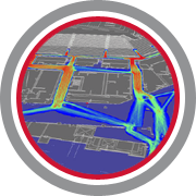
Spatial Innovation operates as an extension of your organization and leverages more than 30 years of industry experience to bring clarity, options and turn-key mapping solutions that are proven and measurable in terms of quality, schedule and price. With more than 60 available aircraft strategically located throughout the US, equipped with nearly every sensor technology, enables a custom solution for every project type and location. US & International.

QUALITY
100% of Spatial Innovation contracts (both services and consulting) have been successfully completed, resulting in a commitment by all of our clients to work with us again. Success is attributed to clear communication, applying the “right” technology effectively and experienced project oversight. Client feedback and testimonials expressing their confidence in Spatial Innovation is expressed herein.

SCHEDULE
100% of our clients reported saving time on internal resources and realized improved project turn around time by contracting with Spatial Innovation. (When compared to other proposals received.)

PRICE
100% of our clients saved money on overall project cost by contracting with Spatial Innovation. Our business strategy enables the most competitive fee and greatest value on services to be realized.


